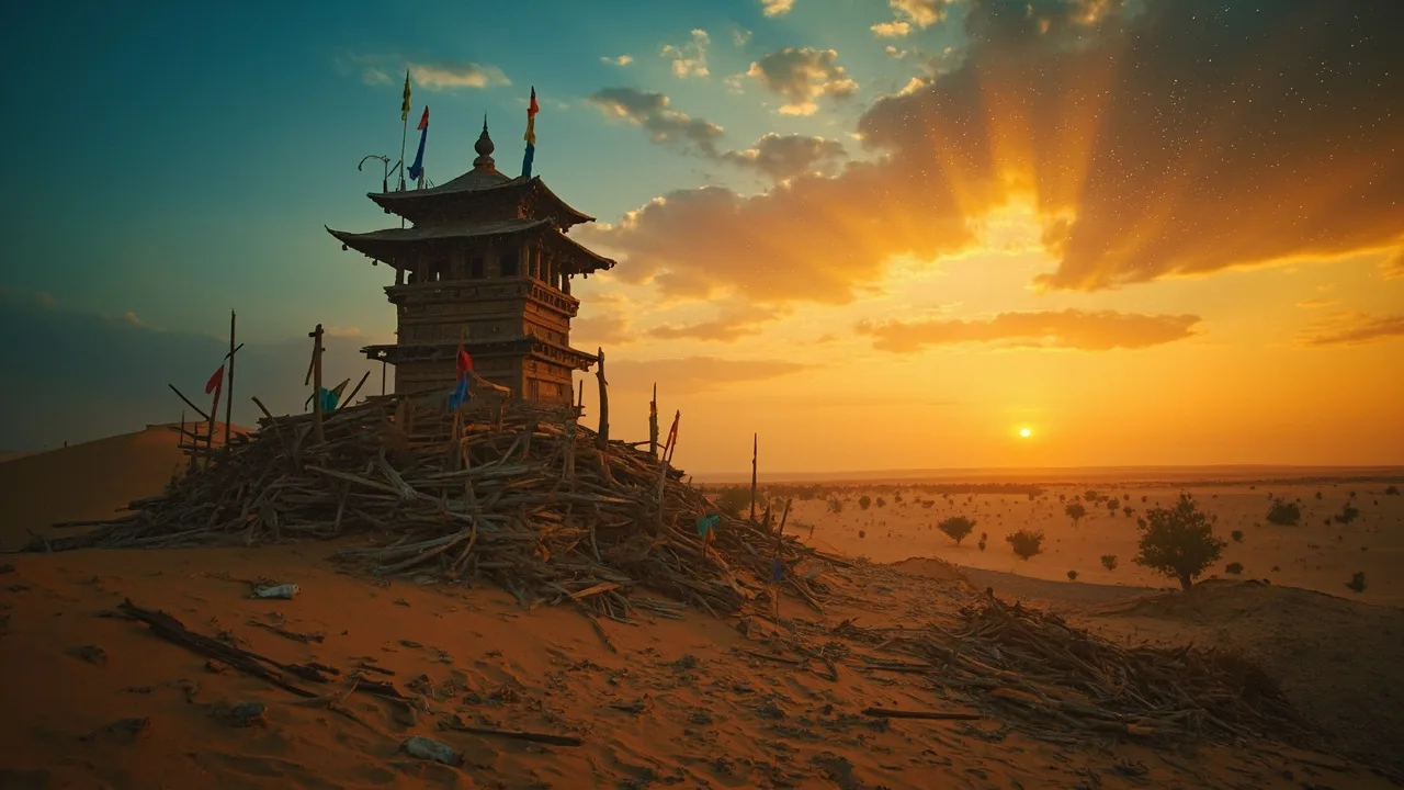
Imagine riding a camel across the Taklamakan Desert in 100 BC. You’ve been traveling for days through endless sand dunes when, suddenly, a green strip of date palms appears on the horizon. You smell water before you see it. A bustling walled city rises from the oasis — donkeys braying, merchants hawking jade and silk, Buddhist monks chanting from a wooden temple. This was Loulan, one of the most important waypoints on the ancient Silk Road.
Now imagine riding that same route today. The oasis is gone. The city is gone. Even the lake that fed it has dried up, leaving only a vast crust of salt. The ruins are there — but they’re buried under sand, scattered across a stretch of the Taklamakan so remote that the Chinese government has only partially excavated them. Loulan vanished so completely that its exact location was lost for over 1,600 years.
What happened? How did a kingdom that sat at the crossroads of Rome, Persia, India, and China simply disappear from the map? And who finally found it again?
A Kingdom on the Map for Only 600 Years
The earliest surviving references to Loulan come from Chinese court historians. The Records of the Grand Historian (Shiji), compiled by Sima Qian around 94 BC, describes Loulan as a small kingdom situated between the Taklamakan Desert and Lop Nur — a now-extinct lake that once shimmered at the eastern edge of the Tarim Basin. Chinese texts from the Western Han dynasty (206 BC–AD 9) repeatedly name Loulan as a key stop on what would later be called the Silk Road.
What made Loulan so vital was geography. The kingdom sat at the junction of two major Silk Road routes: the northern road that skirted the base of the Tian Shan mountains, and the southern road that traced the edge of the Taklamakan. Loulan controlled the only reliable water supply for hundreds of miles. Any merchant, diplomat, or army crossing the eastern Tarim Basin had to pass through — or die of thirst trying to go around.
Loulan’s political status was perpetually complicated by its location. The kingdom existed in a narrow corridor between the expanding Han Empire to the east and a constellation of nomadic peoples — including the Xiongnu — to the north and west. Chinese records describe Loulan as flip-flopping between tribute relationships with Han China and the Xiongnu. The phrase “not both — attack” (bu er ze gong zhi) appears in the Shiji to describe the kingdom’s forced diplomatic logic: whoever controlled Loulan could use it as a base to raid the other’s flank. Loulan survived by playing both sides, paying tribute to Han while also sending hostages and gifts to Xiongnu chieftains.
The kingdom appears in Chinese records from roughly the 2nd century BC to the 4th century AD — about 600 years of documented existence. After the 4th century, references dry up completely. No Chinese chronicle records Loulan’s fall. No traveler mentions passing through it. The oasis simply stops appearing on maps.
Sven Hedin’s Discovery in 1900: A Buddha Temple Sticking Out of the Sand
The man who found Loulan again was a 35-year-old Swedish geographer named Sven Hedin. Between 1899 and 1902, Hedin was in the middle of his second Central Asian expedition, pushing through the Taklamakan with a small team of local guides, camels, and a vague goal: map the terrain and, if possible, find evidence of ancient trade routes.
In March 1900, Hedin’s expedition was camped near Lop Nur — the dried-up lakebed where Loulan once stood. One of his local guides went searching for water and got lost in a sandstorm. While waiting for the guide to return, Hedin noticed something sticking out of a dune: the top of a wooden Buddhist stupa, exposed by the storm’s fury. The wind had scoured the sand away, revealing carved wooden beams and what appeared to be the remains of a temple.
Hedin recognized what he had found almost immediately. He later wrote that the structure was “a Buddhist temple, half-buried, its wooden pillars still upright.” He named the site after the local guide who had stumbled into it — “Sampul,” from the guide’s name — but the more significant discovery came a short distance away: the ruins of an entire ancient city, including walls, streets, and hundreds of wooden writing tablets.
Hedin returned with a more systematic expedition in 1901. His team excavated the site over several weeks, collecting hundreds of wooden slips (small wooden boards used for writing in ancient Central Asia), Buddhist statues, coins, textiles, and carved wood. Among the documents were texts in two scripts: Chinese characters and Kharoshthi, an ancient Indic script used in the Gandhara region (modern Pakistan/Afghanistan). The Kharoshthi documents contained a word that scholars believe refers to Loulan: Kroraina.
The most dramatic haul came from a large Buddhist temple complex. Hedin’s team found a wooden beam from the temple’s roof that had been carved with a running decorative pattern — a motif that could be found across the ancient Buddhist world from India to Central Asia. The temple had clearly been substantial: multiple halls, painted walls, wooden pillars. And it had been buried by sand, layer after layer, until the 1900 storm exposed it.
A few years later, between 1906 and 1914, British archaeologist Aurel Stein conducted his own excavations at Loulan. Stein found more wooden tablets — this time including records in Kharoshthi that documented the kingdom’s internal administration, taxation, and daily life. He also recovered Chinese manuscripts and a significant collection of Kharoshthi documents. Stein was a prolific artifact collector, and many of the most important Loulan manuscripts ended up in the British Museum and the Musée Guimet in Paris. Some fragments have never been fully translated. Stein’s collections remain a subject of ongoing scholarly debate about repatriation.
The Lop Nur Mummies: Red-Haired Warriors and the “Beauty of Loulan”
Hedin and Stein found Loulan the city. But some of the most extraordinary discoveries associated with the wider Loulan culture came from two other sites nearby — and they raised questions that archaeologists are still debating today.
In 1934, a Swedish explorer named Folke Bergman, working in the Lop Nur region, excavated a burial site that would later be known as the Xiaohe Cemetery (“Little River Cemetery”). The graves were distinctive: the bodies were placed inside boat-shaped wooden coffins, covered with reed mats, and the graves were marked with wooden pillars — some shaped like phalluses, suggesting fertility rituals. The corpses were extraordinarily well-preserved by the dry desert air. Bergman found dozens of bodies, many with their clothing and personal effects still intact.
Then, in 1980, a Chinese考古 team made an even more sensational find near Loulan itself. They uncovered the naturally mummified body of a woman — tall, with reddish-brown hair still attached to the skull, wearing a finely woven woolen robe decorated with geometric patterns. She became known internationally as the “Beauty of Loulan.” She was estimated to be around 3,800 years old, placing her in the Bronze Age, long before the Silk Road or the city of Loulan itself existed.
In 2003, a landmark study published in Nature by researchers including Cui Yifu and colleagues analyzed mitochondrial DNA (mtDNA) extracted from mummies at Xiaohe Cemetery and nearby sites. The results were striking. The genetic profiles of the Lop Nur people showed clear connections to populations from Europe and Central Asia — specifically, to peoples from the Indus Valley region and Pamir-Alay mountains. Crucially, these genetic profiles were distinctly different from modern Han Chinese mitochondrial DNA.
This finding ignited widespread interest. If the Lop Nur people were genetically closer to European and South Asian populations than to Chinese populations, who were they? Where did they come from? What language did they speak? The “Beauty of Loulan” and the Xiaohe Cemetery bodies raised — and continue to raise — the fundamental question: what happened to the people who lived in this region before the city of Loulan existed? They were not Han Chinese. They were not Xiongnu. They were a population whose genetic and cultural origins remain partially mysterious, buried in the dry salt crust of Lop Nur.
The Loulan kingdom itself, documented in Chinese records, almost certainly had a different ethnic composition than the earlier Lop Nur mummy cultures. But the region’s deep history of population movement — Europeans, Central Asians, and early East Asians all passing through or settling around Lop Nur — makes the question of Loulan’s “identity” far more complex than a simple label suggests.
Why Did Loulan Disappear? Sand, Salt, War, and Water
No single event killed Loulan. The archaeological and environmental record points to a combination of three major factors that converged catastrophically.
The first was environmental degradation of the Lop Nur oasis. The Tarim River — the lifeblood of the entire region — shifted its course over the centuries. The river that had once fed Lop Nur’s lakes and wetlands gradually changed direction, starving the eastern Tarim Basin of water. This was not a sudden disaster but a slow drying-out. The climate of Central Asia became generally more arid during the 4th and 5th centuries AD, compounding the problem. Sand dunes advanced. Salt crusts spread across what had been marshland.
The second factor was warfare and political disruption. After the Han dynasty’s influence over the Western Regions weakened — particularly after the collapse of the Eastern Han in the 3rd century AD — the Silk Road corridors became far more dangerous. The Xiongnu and later nomadic groups raided trade routes with increasing frequency. Chinese records suggest that after approximately AD 107, the Han court withdrew its protectorate from the Western Regions, effectively abandoning Loulan to fend for itself. Without Chinese military backing, Loulan was exposed to raids and political pressure from multiple directions.
The third and ultimately decisive factor was the re-routing of the Silk Road itself. Between roughly AD 330 and 400, a new trade route opened up to the north — the so-called “Northern Route” through the realm of the Northern Wei, which offered safer passage and better water sources than the Loulan corridor. As merchants shifted to this northern route, Loulan’s function as the indispensable waypoint evaporated. The kingdom that had survived on trade found itself bypassed entirely.
These three forces — drought, warfare, and economic marginalization — arrived together. A city that depended entirely on controlling a finite water supply could not survive when that supply failed and the economic reason for its existence disappeared at the same time. Loulan was abandoned. Its wooden buildings rotted or were buried by sand. Its fields returned to desert. Within a few generations, the city had been erased from living memory.
Today, the ruins of Loulan — known officially as the Loulan Ancient City Site (楼兰故城遗址) — are a protected national-level cultural heritage site in China. The surrounding Lop Nur region is also the site of China’s nuclear weapons testing program, which further complicates archaeological access. The shifting sands of the Taklamakan continue to expose and rebury artifacts; each year, wind erosion reveals new fragments of the ancient city, while covering others. The story of Loulan is, in a sense, still being written — one sandstorm at a time.
Cultural Connection
If Loulan’s story sounds like something out of a Western movie — the lost oasis, the mysterious vanished civilization, the explorer who rediscovered it — that’s not entirely coincidental. The narrative of Loulan maps remarkably well onto the American myth of the lost frontier town.
Think of Loulan like a Taklamakan Desert version of a gold rush boomtown that collapsed when the railroad moved 200 miles west. For 600 years it was essential. Then the route changed, the water dried up, and within a generation the map forgot it existed. The explorers who found it again — Hedin, Stein — were driven by the same mix of genuine scientific curiosity and colonial-era treasure hunting that characterized many early archaeologists working in Asia. The Lop Nur mummies raise questions about ancient migration patterns that parallel American conversations about who was here before — questions still being worked out in deserts on two continents.
Practical Tips
If you’re planning to learn more about Loulan and the Tarim Basin archaeology:
Books worth reading:
- The Silk Road: A New History by Valerie Hansen — the most rigorous modern academic overview
- Foreign Devils on the Silk Road by Peter Hopkirk — a vivid narrative of 19th and early 20th century European explorers
- In Xanadu by Peter Hopkirk — follows Marco Polo’s route with a modern traveler’s eye
What to know before you go:
- Loulan is in a restricted military zone (Lop Nur is China’s nuclear test site). Independent travel is not permitted. Organized archaeological tours are occasionally arranged by Chinese authorities.
- The Tarim Basin is one of the most arid places on Earth. If you’re visiting the broader Xinjiang region, the desert cities of Kashgar and Turpan offer a glimpse of the landscape without the access restrictions.
- The Lop Nur mummies are on display at the Xinjiang Regional Museum in Urumqi.