Yangtze River: China’s 6,300-Kilometer Journey from Tibet to Shanghai
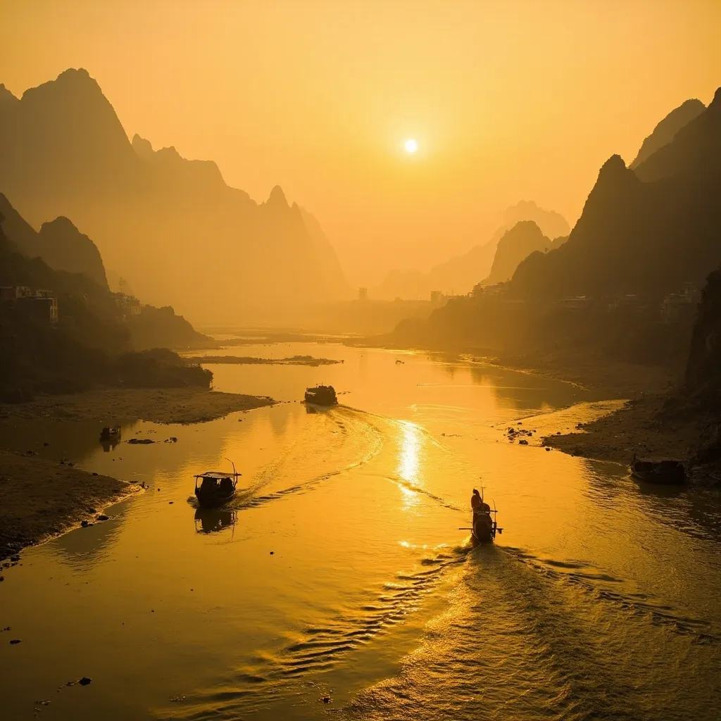
The Yangtze River, known in Chinese as Chang Jiang (Long River), is a geographical marvel that stretches for nearly 6,300 kilometers through the heart of China, making it not just China’s longest river but the third-longest in the world after the Nile and Amazon. From its glacial origins on the Tibetan Plateau to the bustling metropolis of Shanghai where it empties into the East China Sea, the Yangtze passes through an astonishing diversity of landscapes, cultures, and historical contexts. Where the Yellow River gave birth to Chinese civilization in the north, the Yangtze became its commercial engine, a vital artery connecting the interior heartland to the coastal trade networks that would eventually make China an economic powerhouse.
The scale of the Yangtze is difficult to comprehend until you stand on its banks. At its widest point near Shanghai, the river is more than 90 kilometers across during the flood season, appearing more like an inland sea than a river. At its narrowest navigable points in the famous Three Gorges section, steep cliffs rise hundreds of meters on either side, creating a dramatic chasm through which the river rushes with tremendous force. This extraordinary variation in character reflects the river’s journey through vastly different terrain, from the high frozen plains of Tibet to the subtropical lowlands of Jiangsu Province.
The Yangtze has always been central to Chinese civilization, though its role differs from the Yellow River in important ways. Where the Yellow River is associated with the origins of Chinese political authority and early agricultural development, the Yangtze became the highway of Chinese commerce, the route along which goods, ideas, and cultural practices flowed between interior and coastal regions. The river’s tributaries drain an enormous watershed covering nearly one-fifth of China’s total land area, encompassing some of the country’s most productive agricultural regions and most industrially important cities. Understanding the Yangtze means understanding the economic and cultural geography of modern China.
From Glacial Peaks to the East China Sea
The Yangtze’s journey begins on the Tibetan Plateau, one of the most remote and inhospitable regions on Earth. The river has multiple source tributaries, but geographical surveys generally identify the Dangqu River, which originates in the Tanggula Mountains at an elevation exceeding 5,000 meters, as the Yangtze’s most distant source. The water here begins as glacial ice and snowmelt, feeding streams that will eventually unite to form one of the world’s great rivers. The cold, clear water in these high altitude marshes contains almost no sediment, a stark contrast to the muddy Yellow River that begins in similar high terrain but picks up enormous quantities of loess dust.
From these glacial origins, the Yangtze flows east through the grasslands and marshes of the Tibetan Plateau, gradually gathering strength as tributary streams join its course. The river’s upper reaches remain largely untouched by human development even today, home to wildlife including the endangered Tibetan antelope and the rare snow leopard. The few human communities in this region are small pastoral settlements whose lives revolve around yak herding and seasonal migrations following grass availability.
As the river descends from the Tibetan Plateau, it enters the mountainous region of southwestern China, where it begins to cut the spectacular gorges that have inspired poets and travelers for centuries. The first major gorge, the Tiger Leaping Gorge, is among the deepest river canyons on Earth, with cliffs rising more than 3,000 meters from the river surface. Local legend holds that a tiger once escaped a hunter by leaping across the gorge at its narrowest point, giving this terrifying chasm its memorable name. The engineering challenges of building roads through this terrain have occupied Chinese engineers for decades, with modern highways now clinging to cliffsides that seem impossible for human construction.
The river continues its descent through Yunnan and Sichuan provinces, where it is joined by several major tributaries including the Jinsha River (itself already a major waterway) and the Min River that drains the fertile Sichuan Basin. This section of the river’s journey passes through some of China’s most ethnically diverse terrain, home to Tibetan, Yi, Dai, and Naxi communities whose cultures developed in relative isolation from the Han Chinese heartland further downstream.
The Three Gorges: Nature’s Grandeur and Human Engineering
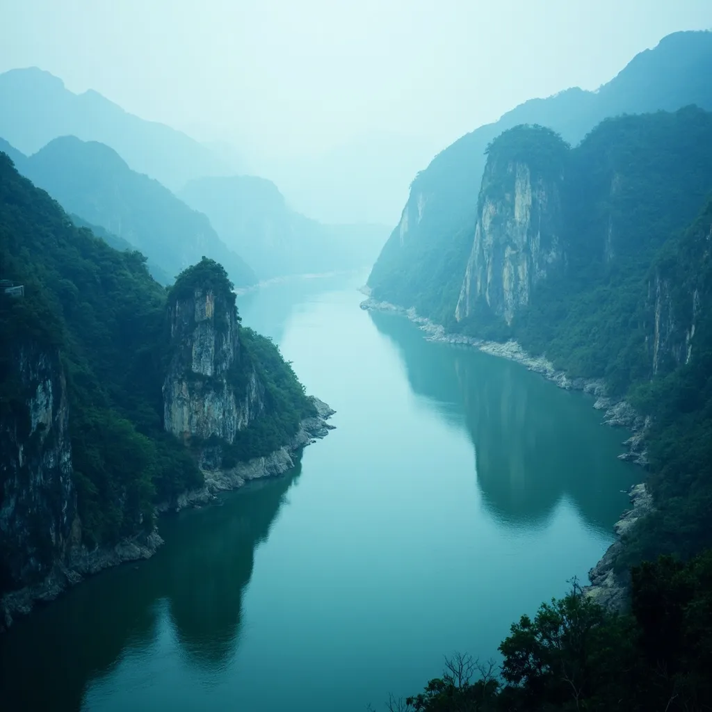
No section of the Yangtze has captured imagination more thoroughly than the Three Gorges—Qutang, Wu, and Xiling—a spectacular 200-kilometer stretch where the river carves through towering limestone cliffs in some of the most dramatic scenery on Earth. These gorges were not merely a tourist attraction but a formidable barrier to navigation for millennia, with treacherous currents, hidden rocks, and sudden fog banks that claimed countless vessels over the centuries.
The Three Gorges presented ancient travelers with both danger and awe. The river here is compressed to widths sometimes less than 100 meters while the surrounding peaks rise 1,000 meters or more above the water surface, creating a sense of being enclosed within a vast stone cathedral. The play of light and shadow in these narrow gorges, the mist that rises from the churning water, and the echo of the river’s roar against the cliff walls combine to create an atmosphere that feels genuinely otherworldly. Tang Dynasty poets exhausted their vocabulary trying to describe these landscapes, and modern visitors with cameras and smartphones find themselves equally overwhelmed.
The Qutang Gorge, the shortest but most dramatic of the three, runs only 8 kilometers but features cliffs that seem to lean over the river at threatening angles. The Wu Gorge, stretching 40 kilometers, is known for its twelve peaks along the southern bank, each named for a recognizable shape or legend. The Xiling Gorge, the longest at 66 kilometers, contains numerous rapids and shoals that made navigation particularly hazardous. Together, these gorges represented the most challenging section of the Yangtze for anyone traveling between Sichuan and the eastern lowlands.
The completion of the Three Gorges Dam, the world’s largest hydroelectric project, fundamentally transformed this ancient landscape. The dam, constructed between 1994 and 2006, created a reservoir that flooded large sections of the gorges, raising water levels by up to 90 meters in some areas. This submersion generated enormous controversy, with critics pointing to the displacement of more than one million people, the loss of archaeological sites, and the environmental consequences of altering the river’s natural flow. Supporters counter that the dam provides clean hydroelectric power reducing reliance on coal, controls flooding downstream, and improves navigation for large cargo vessels. Whatever one’s judgment on this debate, the Three Gorges that visitors experience today are fundamentally different from those that shaped Chinese civilization for millennia. The ancient channels where sampans fought currents and poets found inspiration now lie beneath dark reservoir waters, accessible only to those who dive beneath the surface or study the historical records that document what was lost.
The dam’s reservoir, stretching over 600 kilometers upstream, has also created new challenges that were not fully anticipated. The reservoir’s water levels fluctuate dramatically with the seasons, rising during the summer flood season and dropping during the winter dry season. These fluctuations have destabilized the reservoir’s banks, triggering landslides in several locations and creating concerns about the long-term geological stability of the region. Water quality in the reservoir has also emerged as a concern, as the slow-moving water allows pollution from upstream sources to accumulate rather than flushing downstream as the river once did. These challenges illustrate the complex and often unpredictable consequences of large-scale engineering interventions in natural systems, offering important lessons for dam projects around the world.
Ancient Trade Routes and Economic Arteries
The Yangtze has served as China’s most important commercial highway for over two thousand years, connecting the productive agricultural and industrial regions of central and southwestern China with the coastal ports that linked the country to international trade networks. Understanding the river’s economic history illuminates how China developed its distinctive commercial culture and why certain regions became centers of wealth and innovation.
The earliest organized trade along the Yangtze probably dates to the Warring States period (475–221 BCE), when regional kingdoms began developing water transport to move goods more efficiently than land roads could manage. The river’s current and the complexity of its course meant that travel was not always easy—navigating upstream required either powerful rowers or wind-powered sails, and the monsoon wind patterns meant that certain directions of travel were much easier during specific seasons. Yet despite these challenges, water transport was vastly more efficient than land alternatives, and the Yangtze and its tributaries formed an interconnected network of commercial routes.
The Grand Canal, constructed in sections from the 5th century BCE onward and completed during the Sui Dynasty (581–618 CE), represents perhaps the greatest hydraulic engineering achievement in Chinese history. This massive waterway connected the Yangtze River system with the Yellow River basin, creating a continuous navigable route from Beijing in the north to Hangzhou in the south. The canal allowed grain from the fertile Yangtze Delta to be transported to feed the enormous populations of northern cities, including the imperial capitals. Managing this grain transport became one of the central functions of the Chinese state, with specialized government agencies overseeing the canal system throughout the imperial period.
The middle section of the Yangtze, particularly the area around the confluence with the Han River in Hubei Province, developed into a crucial commercial hub during the Tang and Song dynasties. The city of Wuhan, where the Han meets the Yangtze, remains one of China’s major inland ports today. Further downstream, the Dongting Lake region of Hunan Province served as a massive natural reservoir that regulated the river’s flow and provided fertile agricultural land. The fish of Dongting Lake were legendary for their quality, and the region became famous for its aquaculture and rice production.
The river’s commercial importance shaped Chinese culture in profound ways. The merchant classes that grew rich from Yangtze trade developed distinctive cultural practices and social networks that differed from the agricultural gentry of the interior plains. Cities like Suzhou and Hangzhou, accessible via canal from the Yangtze, became centers of refined culture, artistic production, and literary achievement during the Song Dynasty. The famous Suzhou gardens, with their miniature landscapes and philosophical designs, were built by wealthy merchants who had made fortunes on the river.
The Yangtze Delta: Where Water Meets Civilization
The Yangtze Delta, where the river spreads into multiple channels and ultimately empties into the East China Sea near Shanghai, represents one of the most densely populated and economically productive regions on Earth. This flat, fertile landscape has been shaped by the river’s sediment for thousands of years, with new land constantly forming as the river deposits silt carried down from the interior. The Dutch have their polders, but the Yangtze Delta represents an ongoing natural process of land creation that has been enhanced and managed by human engineering for centuries. The delta’s land is not static but represents a dynamic equilibrium between the river’s sediment supply and the sea’s erosive power—a battle that human engineers have been fighting and winning for over a millennium through sophisticated drainage and embankment systems.
Shanghai dominates the delta region both economically and culturally, having grown from a small fishing village in the 10th century to become one of the world’s largest cities with a metropolitan population exceeding 24 million. The city’s location at the mouth of the Yangtze made it the natural endpoint for river trade and the beginning of maritime commerce with Japan, Korea, Southeast Asia, and eventually Europe and America. Shanghai’s famous bund (waterfront promenade) reflects the colonial era when European powers established trading concessions here, but the city’s origins as a Yangtze port run far deeper than its colonial architecture suggests. The warehouses and wharves that lined the Huangpu River in the 19th century were merely the latest incarnation of a commercial waterfront that had existed for centuries, connecting the city’s merchants to the vast network of waterways that spread throughout the delta and beyond.
The delta’s agricultural productivity is legendary, with the region producing some of China’s finest rice, silk, and tea for export via the Yangtze river system. The famous Hangzhou Longjing tea, considered one of China’s finest green teas, is grown in the hills west of Hangzhou, accessible by canal from the delta. The silk industry of Suzhou and surrounding areas developed alongside the water transport network, with raw silk moved via the canal system to Shanghai for export overseas. These traditional industries have been supplemented in recent decades by modern manufacturing and technology sectors, making the Yangtze Delta one of the world’s major economic engines. The transformation of the delta over the past forty years has been astonishing, with Shenzhen, Guangzhou, and dozens of other cities growing from small towns into global manufacturing centers connected to the world through Yangtze and coastal shipping routes.
The cultural achievements of the Yangtze Delta are equally remarkable. The Wuzhen water town network southwest of Shanghai preserves the architecture and lifestyle of traditional river communities, with canals serving as streets and boats as vehicles. The classical gardens of Suzhou, including the famous Humble Administrator’s Garden and the Lingering Garden, represent the height of Chinese landscape design, built by wealthy merchants and officials who wanted to bring natural beauty into their urban surroundings. The region has produced more than its share of China’s literary giants, scholars, and artists, shaped by the cosmopolitan atmosphere that commercial wealth and river transport created. The famous Suzhou courtesan culture, the refined traditions of Hangzhou’s West Lake poetry circles, and the scholarly traditions of Nanjing all developed within the delta’s distinctive cultural environment.
Today, the Yangtze Delta faces environmental challenges that reflect its success. Water pollution from industrial sources, the depletion of groundwater resources, and the sinking of land due to excessive groundwater extraction all threaten the region’s sustainability. Climate change raises the specter of rising sea levels that could inundate parts of the delta, while changes in Yangtze flow patterns affect the sediment supply that maintains the delta’s elevation. These challenges require sophisticated engineering and international cooperation to address, demonstrating that the relationship between Chinese civilization and its greatest river continues to evolve. The lessons learned from millennia of delta development here may prove valuable for delta regions worldwide, from the Mississippi to the Mekong, as alluvial landscapes grapple with the dual pressures of human development and climate change.
Recommended Products
Explore the Yangtze River’s remarkable geography and culture with these carefully selected affiliate recommendations:
Yangtze River Journey: From Source to Sea – Illustrated History Book – Comprehensive guide to the Yangtze’s geography, history, and cultural significance from Tibetan sources to Shanghai.
Three Gorges Dam Model Kit – Detailed scale model of the Three Gorges Dam for enthusiasts interested in modern Chinese engineering achievements.
Water Town Photography Collection: Wuzhen and Beyond – Stunning photographic journey through the ancient water towns of the Yangtze Delta region.
Suzhou Classical Garden Guide – In-depth guide to the famous classical gardens of Suzhou with historical and cultural context.
Yangtze Delta Silk Scarf Collection – Authentic silk products from Suzhou workshops, connecting traditional craftsmanship with the region’s commercial heritage.
The Yangtze River remains central to China’s past and future. From ancient trading junks to modern cargo ships, from fishing villages to the world’s largest dam, China’s longest river continues to shape the civilization that grew along its banks.